Interest Form for Proposed Projects:
The Community for Geospatial Informatics will provide easily accessible solutions for project management, technical and research assistance, and the completion of requested deliverables.
With 65+ years of collective experience, working on geospatial projects and partnering with companies outside of the university. By combining our knowledge in GIS and sustainability, we strive to translate data into readily accessible formats.
Vision & Mission
CGI serves as an innovation hub for visualizing and analyzing geospatial information through fostered collaboration among professionals, academia, and industries.
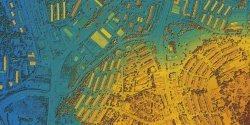
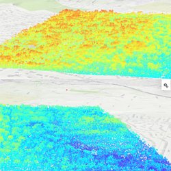
- GIS technologies offer invaluable insights into spatial data, aiding in urban planning, environmental management, disaster response, and resource allocation.
- CGI plays a pivotal role in advancing research, enhancing decision-making processes, and promoting sustainable development. CGI not only fulfills current needs but prepares industries for combating future issues within their companies as the environment rapidly changes.
Staff

Iman Cumberbatch
Lead Engineer

Javonica Latimore
Principal GIS Specialist

Amy Ferdinand
GIS Specialist; Remote Sensing; Environmental Health and Safety
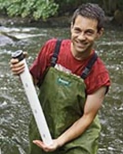
Greg Pope
GIS Specialist; Geologist; Soil Science; Geomorphology; GIS; Surficial Hydrology
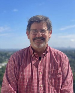
Josh Galster
Interim Institute Director

Yoko Sato
Lab Specialist
Projects
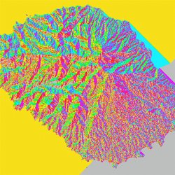
Previous Work

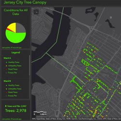
City of Jersey City’s Green Team Project Mapping Tree Canopies
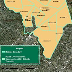
Mapping of Overburdened Census Blocks in Hillside, NJ
Highlights
We empower faculty and students through project support that enhances workforce development via hands-on learning. Our partnerships with municipalities, corporations, and nonprofits drive impactful initiatives, while the integration of UAVs, XR, and remote sensing technologies prepares participants for a dynamic future. Join us in transforming possibilities!