Facilities Staff Present on Stormwater Mapping in GIS
Posted in: Facilities Staff News & Events, Sustainability

In February 2021, University Facilities was invited to participate in the ESRI webinar series, Spatially Enable Facilities Management for Your Campus.
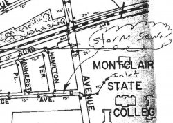
Anthony J Mennuti, Facilities Information Manager, was invited to be a panelist on the first webinar in the series, CAD to GIS: The Value of Spatially Enabling Utility and Facility Information. For this topic, he asked Adeline Cochran, Sustainability Coordinator, to join him in discussing the stormwater mapping project they collaborated on in 2016 – when the Office of Capital Planning & Project Management transitioned the University’s stormwater system map into GIS. Their presentation covered the challenges of managing stormwater data prior to the project, the project initiation and execution, and the use of GIS in today’s stormwater mapping.
